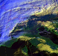
Map overlays for satellite images
Over the years I have very much enjoyed working with Dartcom on the geometrical principles underlying software designed to generate map overlays for images coming from the polar orbiting weather satellites. We described our early work in an article "A fresh approach to automatic navigation of AVHRR images" in the International Journal of Remote Sensing, and I have also lectured on this work in the University of La Réunion.
Ellen MacArthur used this system on her world record solo circumnavigation in 2005 (although she did not go anywhere near Italy).